
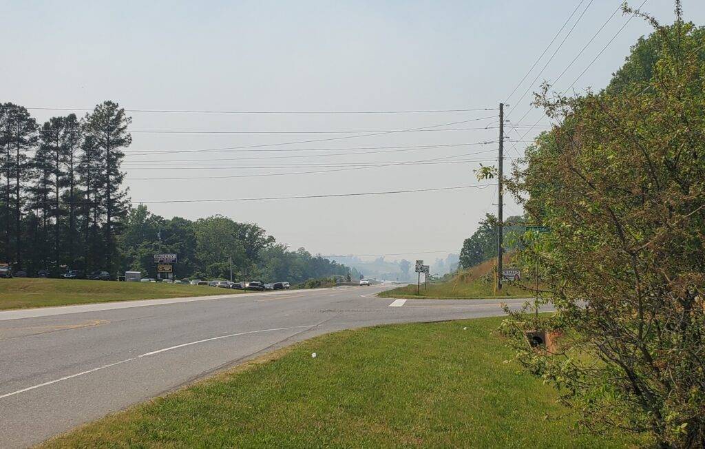
ASHEBORO — Smoke from a controlled burn near the Randolph and Montgomery County lines is blanketing a swath of Randolph County from Seagrove to Liberty.
According to the U.S. Forestry Service’s Uwharrie National Forest office, the U.S. Forest Service and the Three Rivers Land Trust conducted a controlled burn of 583 acers today.
Smoke from the fire raised questions across social media as it spread across the county. Satellite images from the National Oceanic and Atmospheric Associations GOES satellite shows a clear smoke trail from the source of the fire cutting northeast across the county.

Officials say there are no air quality concerns from the smoke.