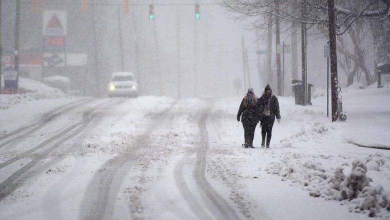
More Winter Weather On The Way
… WINTER WEATHER ADVISORY IN EFFECT FROM 4 PM THURSDAY TO 4 AM EST SATURDAY…WHAT…Mixed precipitation expected. Total snow accumulations of up to two inches and ice accumulations of a light glaze.WHERE…Portions of central North Carolina.WHEN…From 4 PM this afternoon to 4 AM EST Saturday.IMPACTS…Plan on slippery road conditions. The hazardous conditions could impact the morning or evening commute.National Weather Service Office - Raleigh
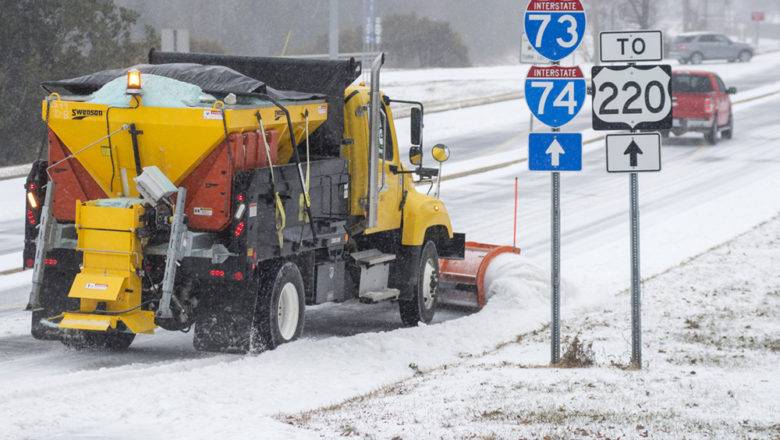
UPDATE 1/20/22 10:30 A.M. | The NWS has revised its forecast after overnight models showed moisture trending much farther south. Scattered light snow showers are possible north of Hwy 64 this evening and tonight, with sleet and freezing rain south of Hwy 64. A coating to two inches of snow or sleet is possible, along with a glaze of ice. All of centra...