
ASHEBORO N.C. – A strong coastal low system will sweep across central North Carolina Sunday bringing torrential rain and strong winds.
A coastal low-pressure system will begin to move up from the gulf through the southeast coast of the United States, across Florida and Georgia on Saturday and through South Carolina and North Carolina on Sunday.
Impacts
According to the National Weather Service Office in Raleigh the storm will bring areas of heavy rainfall with the potential for localized flooding, especially in urban and poor drainage areas. Rainfall amounts of two to three inches are expected from Saturday night through Sunday night.
Gusty winds could knock down tree limbs and blow around light unsecured objects such as holiday decorations. Highest wind gusts of 25-35 mph are expected Sunday afternoon and evening, with gusts to 25 mph lingering throughout the day Monday.
Timing
Forecasters with the National Weather Service say the greatest impacts are expected from late Saturday night through Sunday night. However, rain chances and gusty winds may last into Tuesday.
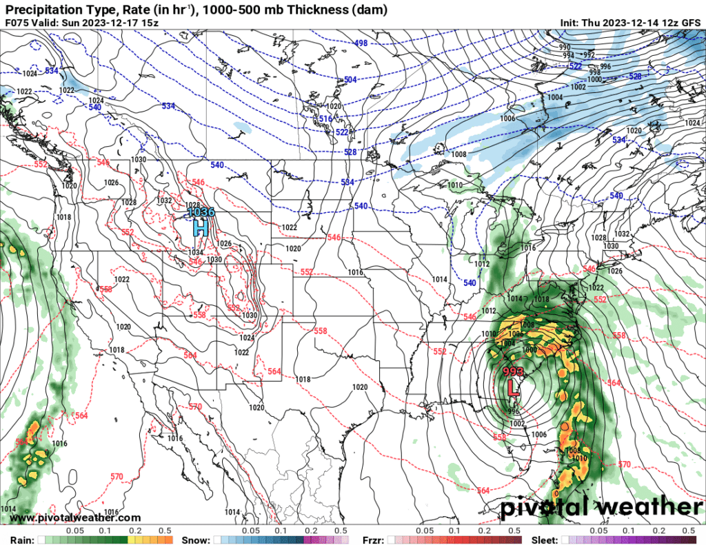
Current models show that light rain could begin moving into our area as soon as 4am on Sunday, with the heaviest rain reaching our area by 10 a.m. on Sunday.
Forecast
Saturday Night
Rain likely after 1am. Cloudy, with a low around 39. East wind 7 to 14 mph. Chance of precipitation is 60%. New precipitation amounts between a tenth and quarter of an inch possible.
Sunday
Rain, with thunderstorms. Some of the storms could produce heavy rainfall. High near 53. Chance of precipitation is 100%. New rainfall amounts between 1 and 2 inches possible.
Sunday Night
Rain. Low around 44. Chance of precipitation is 80%.
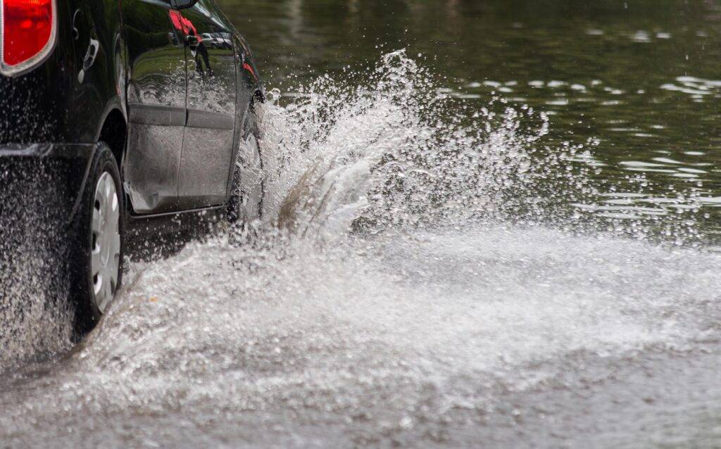
Play it smart, play it safe. Whether driving or walking, any time you come to a flooded road, TURN AROUND, DON’T DROWN!