NWS Issues Watches Ahead of Heavy Rain, Wind, Flooding Risk Tuesday
ASHEBORO N.C. – Ahead of expected heavy rain, strong winds, and the threat of flash flooding on Tuesday the National Weather Service office in Raleigh has issued a Flash Flood Watch and Wind Advisory for much of central N.C. including Randolph County.
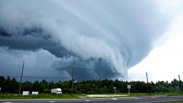
According to forecasters, a strong storm system will bring widespread heavy rain, gusty to damaging winds, and the threat of a few tornadoes to central N.C. on Tuesday January 9th, 2024.
Severe weather is expected to begin to arrive in Randolph County starting as soon as noon on Tuesday and is expected to continue until late into the night.
WIND - South or southeasterly winds will increase to 15 to 25 mph, with gusts between 35 and 45 mph expected during the afternoon and evening Tuesday. Gusty winds could blow around unsecured ...