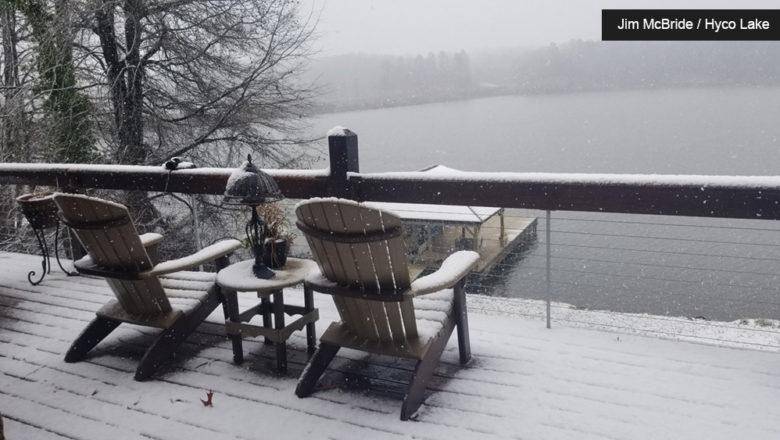
White Christmas? Probably Not, Say Forecasters
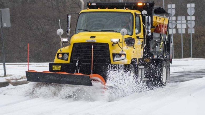
ASHEBORO N.C. - An arctic air system will move into the U.S. this week as forecasters become more confident that there won't be a white Christmas for the Triad.
What's Happening?
Cold artic air from Siberia will make its way down from Canada thanks to a high-pressure system sometime between Tuesday and Wednesday, reaching the Triad sometime on Friday.
Meanwhile, a coastal low-pressure system tracking up eastern/coastal sections of the Carolinas will bring widespread moderate rain into the area Wednesday night and Thursday and into Friday.
Credit F5 Weather (https://www.f5wx.com/)
In models the arctic low-pressure system is tracking to the north and west of our state with the mountains blocking some of the coldest of the air (and moisture needed for heavy snow) but expect w...