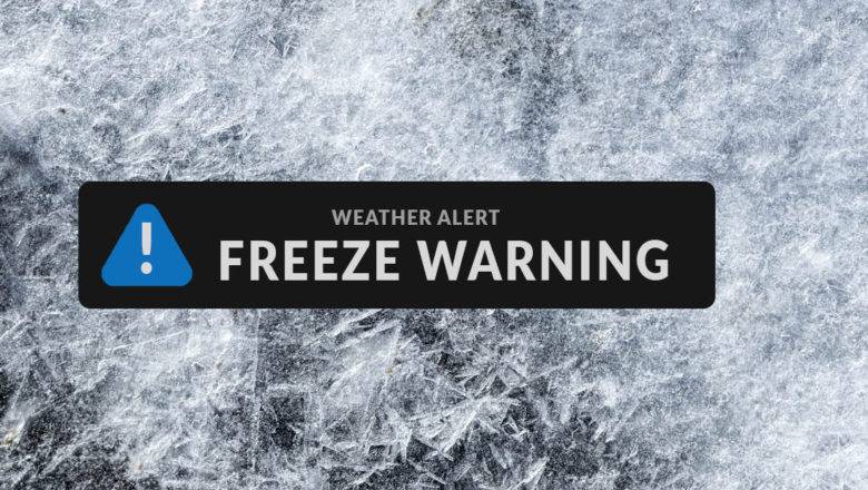
Freeze Warning Issued For Randolph County For Friday
ASHEBORO NC - The National Weather Service in Raleigh has issued a freeze warning from 2 AM to 10 AM on Friday. Temperatures as low as 30 degrees are expected in Randolph and surrounding counties. Frost and freeze conditions will kill crops, other sensitive vegetation and possibly damage unprotected outdoor plumbing.
The National Weather Service says now is the time to take steps now to protect tender plants from the cold. To prevent freezing and possible bursting of outdoor water pipes they should be wrapped, drained, or allowed to drip slowly. those that have in-ground sprinkler systems should drain them and cover above-ground pipes to protect them from freezing.